How to keep track
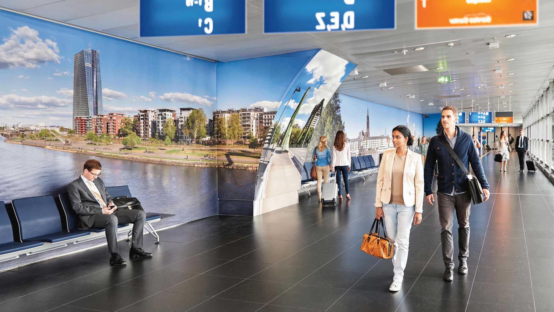
Our airport map will help you to quickly find your way around Frankfurt Airport and keep an overview at all times.Terminal 1 is home to gates A to C and Z as well as a passageway to the long-distance and regional railway stations and the bus station. Terminal 2 consists of gates D and E. Both terminals are only a few minutes away from each other by shuttle bus or SkyLine.
Please use the navigation function on our map to get to your destination easily. Simply enter your starting point and destination and click on ‘NAVIGATION’ to find the best route. An accessible route and directions are also always available. Real-time flight information at the gates keeps you up to date. For a 3D view, click on the button on the right of the map.We wish you a pleasant stay and a safe journey!
.jpg/_jcr_content/renditions/original./20231006_rb-gastronomie_FRAPORT_17_937%20(1).jpg)